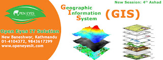
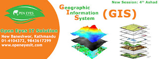
A geographic information system (GIS) is a computer system designed to capture, store, manipulate, analyze, manage, and present all types of geographical data. The acronym GIS is sometimes used for geographical information science or geospatial information studies to refer to the academic discipline or career of working with geographic information systems and is a large domain within the broader academic discipline of Geoinformatics.
Modules Covered in the Course
What is the ArcGIS platform?
Tools to easily find, create, share, and use GIS maps
Multiplatform accessibility
What is GIS?
Components of a GIS
Understanding the geographic approach
What can you do with a GIS?
Making and sharing a map using ArcGIS Online
What makes data geographic?
Representing real-world features digitally
Geographic data formats and non-geographic data formats
Documenting important information about data with metadata
Mapping real-world feature locations using coordinate systems
Geographic and projected coordinate systems
Identifying a dataset's coordinate system
Changing a dataset's coordinate system
Changing the coordinate system for a map
Finding GIS maps and data
Considerations when selecting data
Sources of GIS data
Exploring a GIS map
Navigating around places of interest
Finding features and accessing feature information
Changing feature symbology
Visualizing change over time
GIS analysis
Solving spatial problems
Five-step process
Determining where and when things occurred
Sharing analysis results as graphs and layers
Sharing GIS maps and results
Common ways to share maps and results
Sharing tools and data
Sharing results as web maps and web mapping applications
Accessing content through ArcGIS Online